
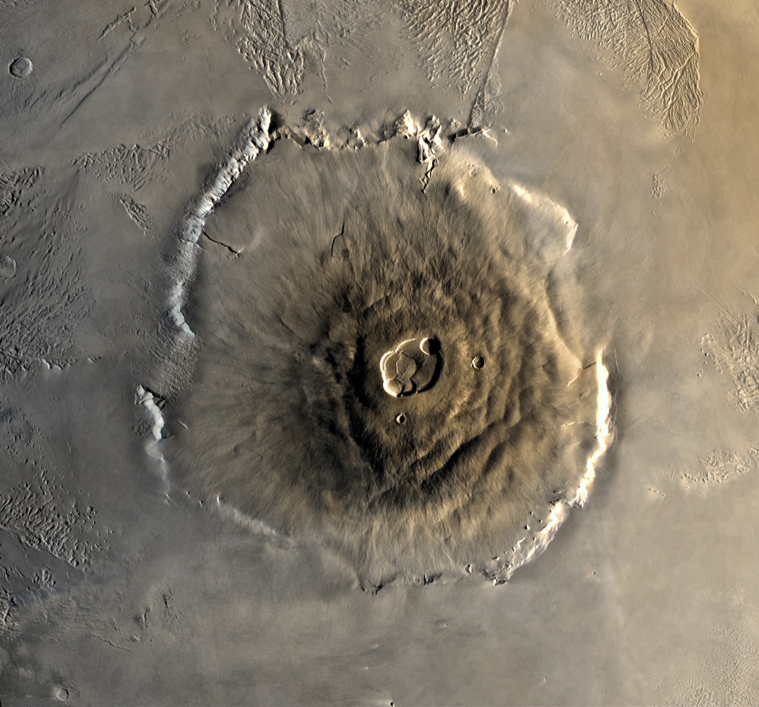
Photos of Mauna Loa.
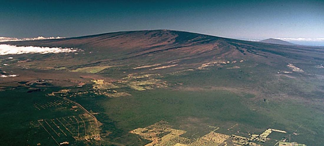
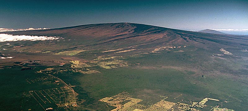
Mauna Loa's broad shield rising above the Island of Hawaiʻi (J.D. Griggs / USGS (public domain))
Quick facts
- Largest active volcano on Earth by volume (~75,000 km³)
- Summit 13,678 ft above sea level; ~30,085 ft from its seafloor base
- Second-tallest mountain on Earth base-to-peak, just behind Mauna Kea
- Its weight depresses the ocean crust beneath it by a further ~8 km
- Last erupted November–December 2022, after 38 years quiet